
Quanergy Acquires Raytheon People-Tracking Software
source:Photonics.com
keywords: Quanergy People-Tracking Software
Time:2016-09-05
SUNNYVALE, Calif., Sept. 1, 2016 — Lidar sensor provider Quanergy Systems Inc., has acquired the OTUS People Tracker software from Raytheon BBN Technologies.
The software complements Quanergy’s existing software portfolio and, when used with Quanergy’s lidar sensors, creates an integrated hardware and software solution for advanced people detection and tracking applications within the security and autonomous driving markets.
“The acquisition of Raytheon BBN’s OTUS People Tracker software is a significant milestone in Quanergy’s strategy and long-term road map for lidar integration into larger transportation and automation platforms,” said Louay Eldada, Quanergy CEO. “Raytheon BBN is a recognized leader in the space, with the most advanced solution, and Quanergy is now further positioned to expand its footprint and accelerate its ability to deliver new levels of product performance.”
The software is the foundation for Q-Guard, Quanergy’s 3D perimeter fencing and intrusion detection system. OTUS uses sophisticated human perception algorithms to identify and track people for safety and security in crowded environments at ranges exceeding 100 m when used with Quanergy lidar sensors. The system features segmentation techniques identifying humans, background extraction, object clustering, sophisticated merge and split algorithms, persistent tracking algorithms, and other advanced features supporting robust crowd control. Support for multiple zones of interest is included, allowing users fine control over active monitoring. With the acquisition, Quanergy is offering the most intelligent and complete solution to track people in 3D and in real-time over large spaces. The combined solution has advantages over camera systems including the ability to work in any weather or lighting conditions with fewer false alarms, along with the reduction of equipment and labor costs.
MOST READ
- RoboSense is to Produce the First Chinese Multi-beam LiDAR
- China is to Accelerate the Development of Laser Hardening Application
- Han’s Laser Buys Canadian Fiber Specialist CorActive
- SPI Lasers continues it expansion in China, appointing a dedicated Sales Director
- Laser Coating Removal Robot for Aircraft
PRODUCTS
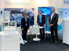 FISBA exhibits Customized Solutions for Minimally Invasive Medical Endoscopic Devices at COMPAMED in
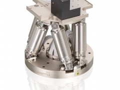 New Active Alignment System for the Coupling of Photonic Structures to Fiber Arrays
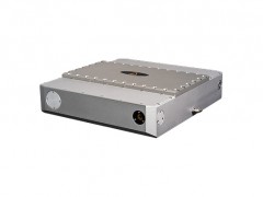 A new industrial compression module by Amplitude
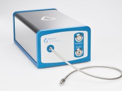 Menhir Photonics Introduces the MENHIR-1550 The Industry's First Turnkey Femtosecond Laser of
 Shenzhen DNE Laser introduced new generation D-FAST cutting machine (12000 W)
more>>
